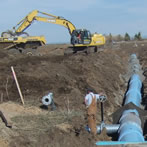
Big Lost River Basin Overview
The Big Lost River Basin is located in south-central Idaho within Butte and Custer Counties. The basin serves as an important tributary to the Eastern Snake Plain Aquifer. Surface water and groundwater are used extensively in the basin for irrigated agriculture, domestic, stock, municipal, and other uses. Declining groundwater levels, reduced flows in the Big Lost River, and concerns about drought have recently motivated an investigation of water resources in the region.
From 2018-2022, IDWR conducted a hydrologic investigation to characterize the surface and groundwater hydrology of the region. This work laid the framework to begin groundwater model development in late 2022, which is currently in progress. Use the tabs above to explore various aspects of the project.
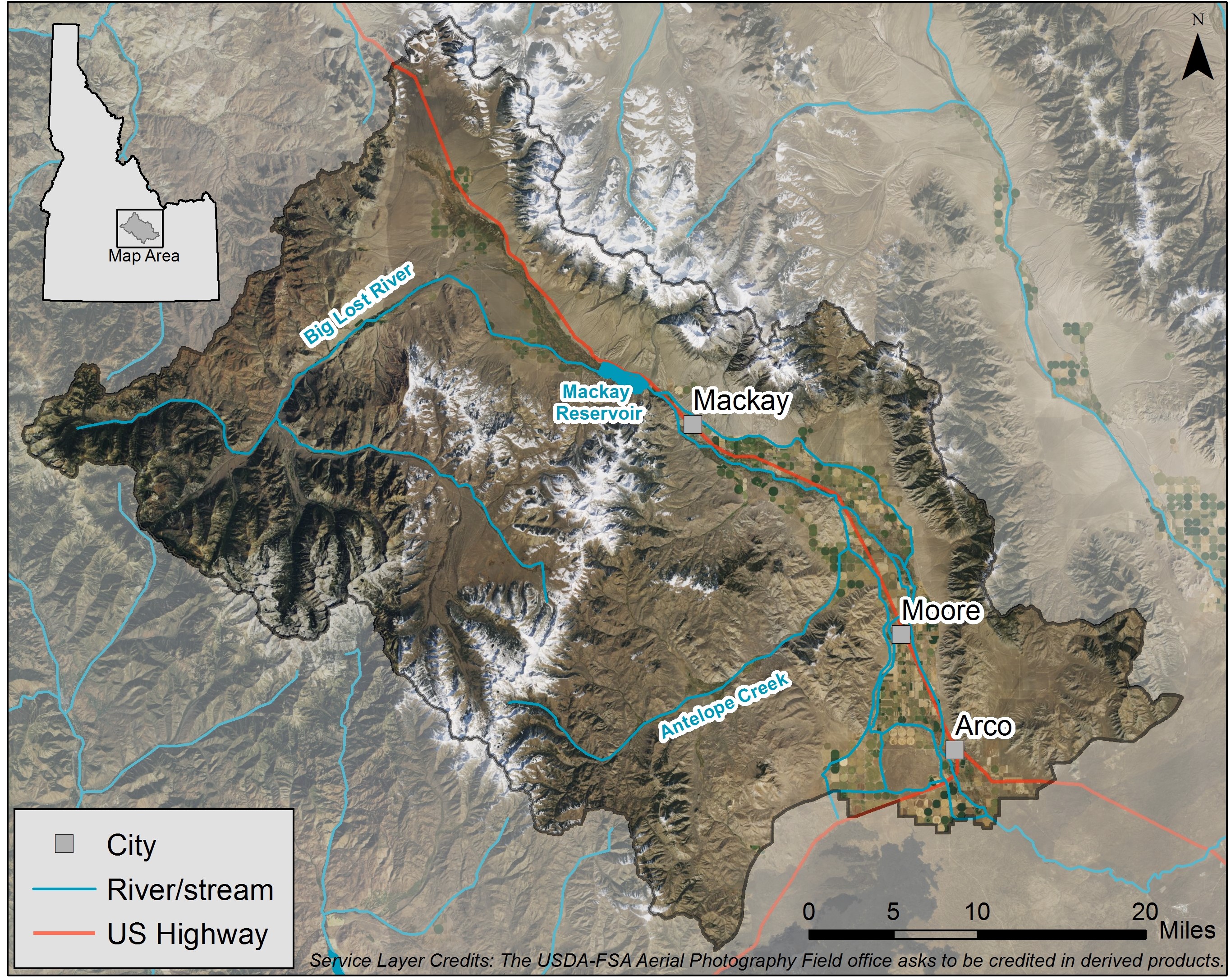
Current Surface Water Conditions in the Big Lost River Basin
The mapper below displays current streamflow conditions in the Big Lost River Basin. Data is collected and served by the U.S. Geological Survey.

