Official Government Website
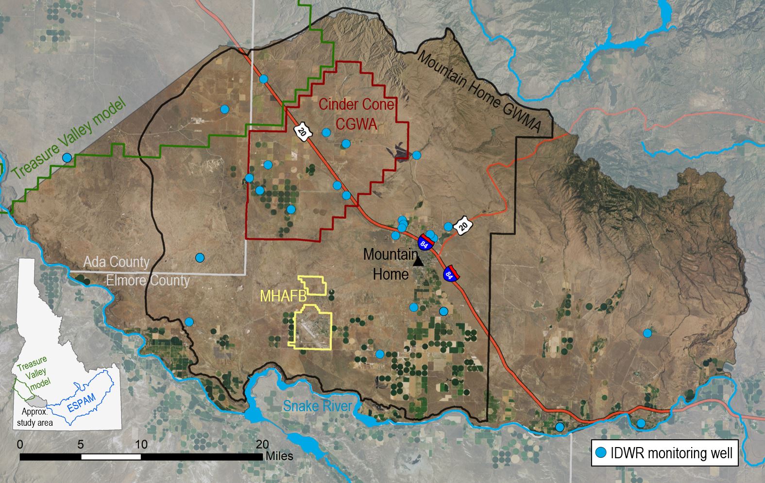
Mountain Home Plateau Hydrologic Investigation
The Mountain Home plateau is located in the Western Snake Plain Aquifer, due east of the Treasure Valley and west of the Eastern Snake Plain Aquifer. Surface water is scarce on the plateau and most water users utilize groundwater for municipal, irrigation, domestic, and industrial uses. Declining groundwater levels in the region have led to the designation of the Cinder Cone Butte Critical Groundwater Area in 1981 and the Mountain Home Groundwater Management Area in 1982.
Beginning in 2022, IDWR and the Idaho Water Resource Board (IWRB) began a project to characterize the surface and groundwater hydrology of the Mountain Home plateau. To date, IDWR has partnered with the United States Geological Survey (USGS) to complete the following objectives:
- Develop a conceptual hydrogeologic framework for the study area
- Develop a groundwater budget for the study area
- Conduct groundwater level synoptic events
In addition to the work outlined above, IDWR intends to complete additional tasks such as drilling new monitoring wells and enhancing the current groundwater level monitoring network.