 Official Government Website
What can we help you find?
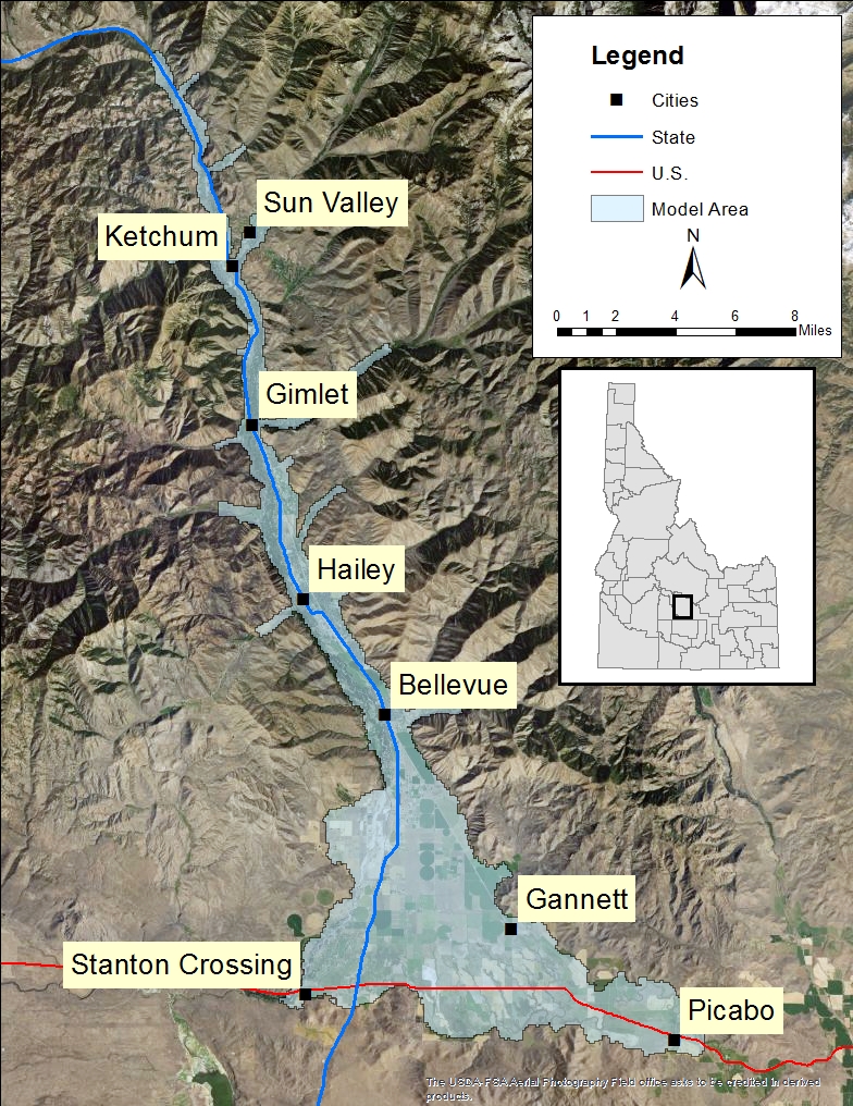
Wood River Valley Groundwater-Flow Model
Home » Hydrologic Projects » Wood River Valley Groundwater-Flow Model
Hydrologic Projects
- Big Lost River Basin
- Camas Prairie Hydrologic Investigation
- East Ada County Hydrologic Project
- Eastern Snake Plain Aquifer Model
- Mountain Home Plateau
- North Ada County Hydrogeologic Investigation
- Portneuf River Basin Hydrologic Investigation
- Raft River Basin
- Spokane Valley-Rathdrum Prairie Hydrologic Project
- Treasure Valley Groundwater Flow Model
- Upper Salmon Hydrologic Project
- Western Snake Plain Aquifer Model
- Wood River Valley Groundwater-Flow Model
The Wood River Valley Groundwater-Flow Model Project was initiated to provide a scientific foundation for the management of aquifers underlying the Wood River Valley. In 2008, the Idaho legislature approved House Bill 428 and House Bill 644 establishing the Statewide Comprehensive Aquifer Planning and Management Program (Idaho Code § 42-1779) and the Aquifer Planning and Management Fund (Idaho Code § 42-1780). This legislation authorized the Idaho Water Resource Board (IWRB) to begin comprehensive aquifer management planning (CAMP).
The Aquifer Planning and Management Program is designed to provide the IWRB and IDWR with the necessary information to develop plans for managing ground and surface water resources into the future. This phase of the program for the Wood River Valley began with the technical component of developing a groundwater-flow model.
IDWR and the United States Geological Survey (USGS) partnered to develop a groundwater-flow model of Idaho’s Wood River Valley aquifer system. The initial model development was completed in 2016, but model upgrades are forthcoming.
Purpose and Objectives
The model is constructed to simulate the effects of climate and human activities on the aquifer system with an emphasis on the interaction of the surface and groundwater system. This work incorporates the increased knowledge about the aquifer system which was developed in the past several years. USGS reports can be found on the Reference Material page. USGS staff is working with local communities and organizations to gather information and analyze the aquifer system. This increased understanding of the groundwater system, described in several technical papers published by USGS, are the base for the model development.
Groundwater-flow models are developed to represent our understanding of the aquifer system and can be used to manage and plan for the water needs and uses of the region. The Wood River Valley groundwater-flow model is designed to further the basic understanding of the aquifer system and ultimately to examine effects on the groundwater system and its interaction with the Big Wood River because of changes in water use, recharge, or discharge.
A technical advisory committee was established to provide the modeling team with input during the model construction.
Upcoming Meetings
USGS References
- USGS Idaho Water Science Center
- Groundwater Budgets for the Wood River Valley Aquifer System, South-Central Idaho, 1995-2004
- Hydrogeologic Framework of the Wood River Valley Aquifer System, South-Central Idaho
- Water-Resource Trends and Comparisons Between Partial-Development and October 2006 Hydrologic Conditions, Wood River Valley, South-Central Idaho
- Wood River Valley Aquifer System, South-Central Idaho
- Stream Seepage and Groundwater Levels, Wood River Valley, South-Central Idaho, 2012-13
- Groundwater-Flow Model for the Wood River Valley Aquifer System, South-Central Idaho: Scientific Investigations Report 2016-5080
- Groundwater Resources of the Wood River Valley, Idaho: A Groundwater-Flow Model for Resource Management
Reports
- Warm Springs and Trail Creek Temperature Probe Seepage Monitoring – December 2021
- Trail Creek Seepage Surveys – June 2020
- Summary of Ground Water Conditions in the Big Wood River Ground Water Management Area (2019 Update)
- Trail Creek Seepage Survey – November 2017
- Warm Springs Creek Seepage Survey – July 2017
- Silver Creek Discharge Measurements – January 2019
Other References
Current Files
- Wood River Valley Aquifer Model Uncertainty Analysis Version 1.1
- Seven Silver Creek Flow Measurements Collected at North Picabo Road Bridge between October 2017 and November 2018
- Groundwater-Flow Model for the Wood River Valley Aquifer System, Version 1.1
- Annual Water Budget (1995-2014)
- Model Scenario, Version 1.1
- Calibrated Model Files (Version 1.1 formatted for MODFLOW-USG)
- WRV Model Calibration
- WRV Data 1995-2014
- Model Scenario Files
- Model Files (Version 1.1 reformatted for MODFLOW 6)
- USGS documentation for MODFLOW 6
Legacy Files
The Wood River Valley Modeling Technical Advisory Committee (MTAC) meets as needed.
Meeting dates, places, or times are subject to change.