


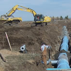
Importance of Landsat for Water Resources in Idaho
Landsat 8 was launched on February 11, 2013, and it included the Thermal Infrared Sensor (TIRS). The TIRS is important for computing and mapping evapotranspiration (ET) or water consumption. IDWR is currently using data from Landsat 8 and is still using data from Landsat 7 which was launched in 1999 and has fuel to last until 2020. NASA and the USGS started working on Landsat 9 with a planned launch in 2020.
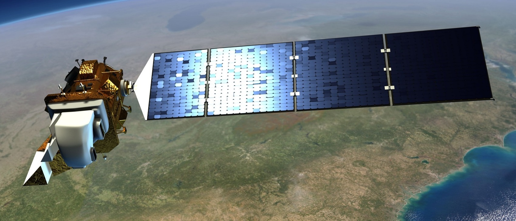
Landsat 8, Courtesy of NASA
The first Landsat satellite was launched in 1972, and in 1975 Idaho became one of the earliest users of Landsat. Landsat was used in the Snake River Basin Adjudication to develop irrigated land use maps and it has been used on an annual basis to monitor water rights in the Snake River Basin and other irrigated areas in Idaho. Landsat data is being used in the Comprehensive Reserve Enhancement Program to confirm the eligibility of lands for the program. Landsat is regularly used to develop maps of irrigated land that support groundwater models. IDWR relies on Landsat for these programs because it is an operational satellite providing imagery with resolution that allows observation and interpretation of individual fields, and it has a large archive for historical analysis.
IDWR began using Landsat for mapping ET in 2000. Landsat is the only operational satellite that provides high resolution images (30 meter by 30 meter pixel size) that can be used to compute and map ET for individual agricultural fields. This Landsat-based ET data is incorporated into water budgets that support hydrologic models and into water supply predictions for upcoming irrigation seasons. Water planners have used Landsat-based ET data for endangered species programs and for long-term supply and demand analyses. IDWR is frequently involved in legal proceedings related to the supply available to senior water right holders, and in a recent case, Landsat-based ET data were used to show water use information as a “legal finding of fact.” In 2009, Idaho won the Innovations in American Government Award for its use of Landsat-based ET data for water administration.
IDWR has used Landsat data for over 30 years to help administer and manage Idaho’s water resources. The 3.4 million acres of irrigated agriculture in Idaho accounts for over 98% of the water consumed. Landsat will continue to be important for Idaho because it is the only operational satellite that provides the detailed data, including a thermal sensor, necessary for water administration at the field level.
Historical Files
| Date | Document | Author | Description |
|---|---|---|---|
| February 23, 2009 | Explanatory Statement Submitted by Mr. Obey, Chairman on the House Committee on Appropriations, Regarding H.R. 1105, Omnibus Appropriations Act, 2009 | Rep. David R. Obey, Chairman, Committee on Appropriations U.S. House of Representatives | Direction for NASA to spend $10 million on the development of a Thermal infrared sensor for the Landsat Data Continuity Mission |
| February 12, 2009 | Letter to Senator Harry Reid | Richard Felling, Chief Hydrology Section Nevada Division of Water Resources | Request that NASA's budget be augmented in order to assure the continuity of Landsat thermal data |
| December 15, 2008 | Letter to Senator Harry Reid | Allen Biaggi, State Engineer of Nevada | Request that NASA's budget be augmented in order to assure the continuity of Landsat thermal data |
| October 15, 2008 | Section 205 of the National Aeronautics and Space Administration Act of 2008 | H.R. 6063 | Public Law directing NASA to plan for thermal data continuity on Landsat |
| May 5, 2008 | Letter to Senators Byrd, Cochran, Mikulski, and Shelby | 12 United States Senators | Letter signed by 12 U.S. Senators requesting $35 million be added to NASA's FY08 budget for a thermal sensor on LDCM |
| January 27, 2008 | Letter to Senator Mark Udall | Harris D. Sherman, Executive Director, Colorado Dept. of Natural Resources | Request that NASA's budget be augmented in order to assure the continuity of Landsat thermal data |
| June 14, 2007 | Letter to Support Landsat: A Critical Tool for Water Resource Management | Senator Ken Salazar (D - Colorado), Senator Mike Crapo (R - Idaho) | Letter signed by 9 U.S. Senators requesting $35 million be added to NASA's FY08 budget for a thermal sensor on LDCM |
| May 2, 2007 | Letter to Senator Mikulski, Senator Stevens, Representative Mollohan, and Representative Frelinghuysen | M. Michael Rounds, Governor of SD; Dave Freudenthal, Governor of WY | Letter expressing the support of the Western Governors' Association for issues including thermal band on the Landsat Data Continuity Mission |
| April 19, 2007 | Precious Resources: Water and Landsat's Thermal Band | Unknown | Article explaining the problem solved by Landsat's Thermal Band |
| March 2007 | Annotated Bibliography - Landsat Thermal Band | Rick Allen, Martha Anderson | Annotated bibliography of peer-reviewed literature on Landsat-derived evapotranspiration and energy balance |
| February 2, 2007 | Letter to Senator Harry Reid | Tracy Taylor, Nevada State Engineer | Letter requesting funding for a Landsat thermal band |
| January 23, 2007 | Letter to Dr. Michael Griffin, NASA Administrator; Dr. Mark Myers, Director of the USGS | Landsat Data Continuity Mission Science Team | Unanimous recommendation for inclusion of thermal instrument on the Landsat Data Continuity Mission |
| January 18, 2007 | Letter to Senator Larry Craig and Letter to Senator Mike Crapo | Eastern Snake Hydrologic Modeling Committee | Letters asking that funds be appropriated to pay for a thermal imager on the Landsat Data Continuity Mission |
| September 14, 2006 | Letter to Panels of the Decadal Survey of the National Research Council | Martha Anderson, Richard G. Allen, et al. | Letter with 117 co-signers explaining the need for a Landsat thermal band |
| September 13, 2006 | Letter to Panels of the National Research Council Decadal Survey | Duane A. Smith Chairman, Western States Water Council | Letter supporting a thermal band on the Landsat Data Continuity Mission |
| September 12, 2006 | Letter from the Western Governors' Association to Dr. John H. Marburger, Director of the Office of Science and Technology Policy | M. Michael Rounds, Governor of SD; Dave Freudenthal, Governor of WY | Letter expressing the support of the Western Governors' Association for a thermal band on the Landsat Data Continuity Mission |
| September 2006 | NASA Earth Science Questions Addressed by High-Resolution Spaceborne Thermal Infrared Data | Dale Quattrochi | Discussion of how Landsat thermal data apply to 7 of NASA's 23 Earth Science Questions |
| August 11, 2006 | Letter from the Wyoming State Engineer to the White House Office of Science and Technology Policy | Patrick J. Tyrrell | Letter explaining State of Wyoming's support for Landsat thermal band |
| August 2006 | Critical Need for a Landsat Thermal Band | Richard G. Allen | Detailed justification for thermal imager aboard Landsat |
| June 2006 | Water Needs and Strategies for a Sustainable Future | Western Governors' Association | Landsat thermal data are specifically identified in Recommendation 2A |
| February 28, 2006 | Letter to Senator Michael Crapo | Richard G. Allen | On the importance of Landsat thermal data to Idaho |
| February 27, 2006 | Letter from the Director of Idaho Department of Water Resources Re: Landsat Data Continuity Mission | Karl J. Dreher - Director, IDWR | Letter to NASA requesting thermal imager aboard LDCM |
| December 23, 2005 | Landsat Data Continuity Strategy Adjustment | White House Office of Science and Technology Policy | Announcement for a free-flying Landsat |
| November 11, 2005 | Water and Food Satellite System | A resolution supporting a fleet of food and water security satellites having TIR | |
| March 24, 2003 | Progress in utilizing space borne high resolution thermal radiometer in water resources research and management | Wim Bastiaanssen | European use of Landsat thermal data |
| 1992 | United States Code Title 15, chapter 82 | United States Government | U.S. Land Remote Sensing Policy |