What can we help you find?
Popular Topics
Water Rights
Legal Actions
Forms
Wells
Groundwater Levels
Irrigation Districts
Maps
Cloud Seeding Program
For information on Idaho water right adjudications, click on the Main Menu Water Rights tab.
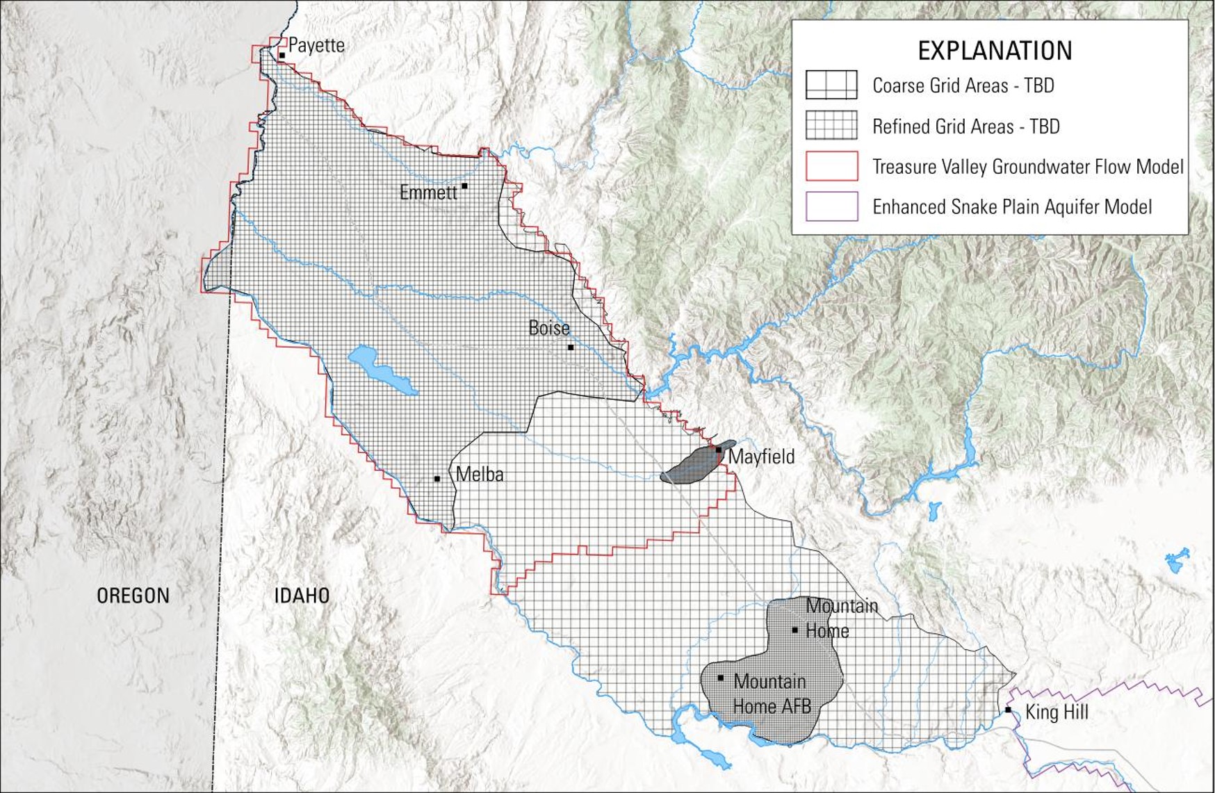
Home » Hydrologic Projects » Western Snake Plain Aquifer Model
The U.S. Geological Survey is developing a transient numerical groundwater-flow model of the western Snake River Plain.
More details will be added as we develop the project page.
 Official Government Website